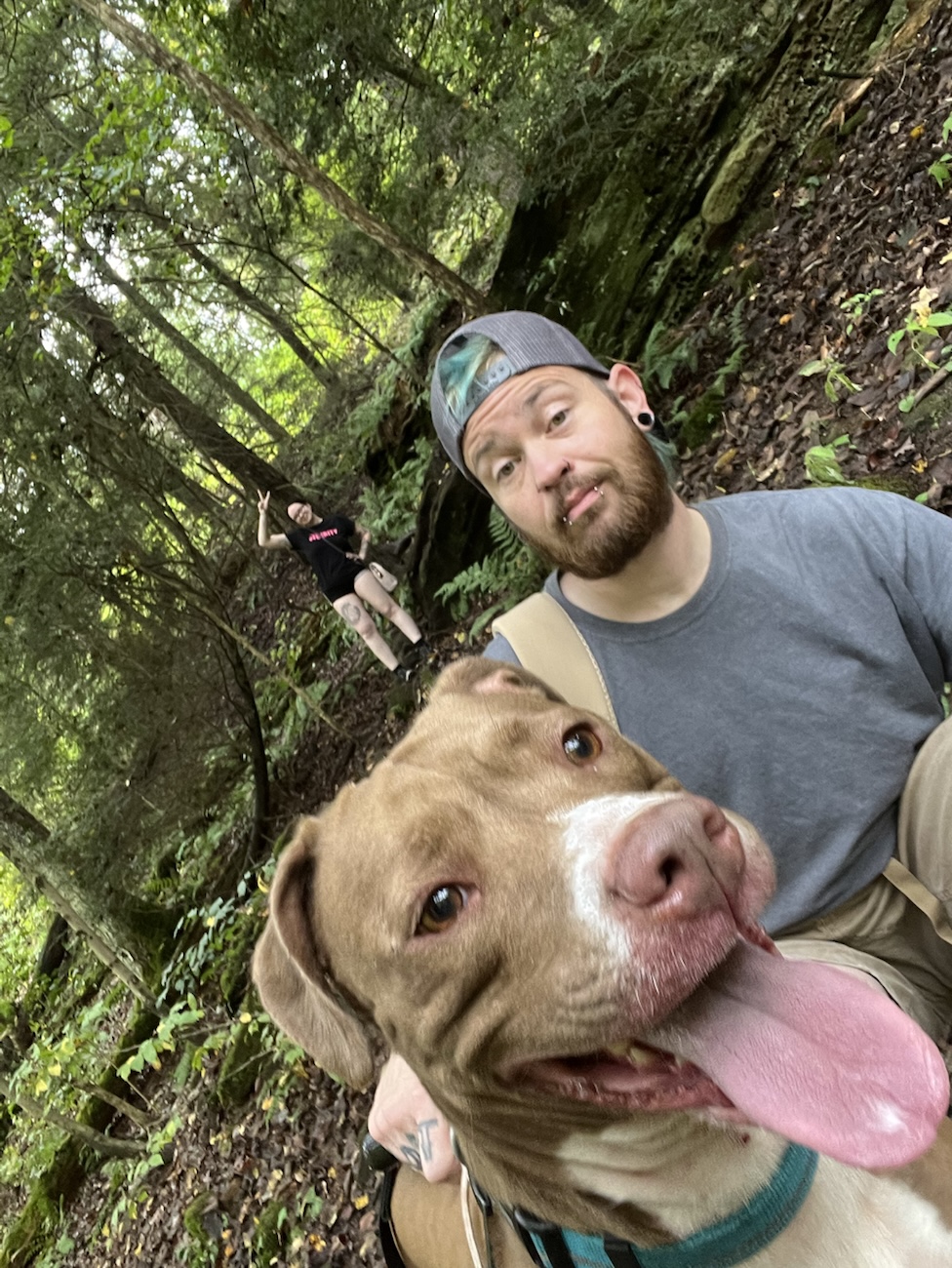
It was around 70 °F when we set out today. I think that’s close to a perfect temperate for wandering among waterfalls, woodland, and scars left by the river currently and years ago. The crew: Luna, Kylie, and me. We parked by the covered bridge at Mohican State Park and embarked on a loop that wove us past 2 cascading falls, a dam and spillway, forested slopes, and the gentle murmur of the stream flowing through.
🌿 Trail & Park Overview
Mohican State Park spans about 1,110 acres, nestled in Ashland County, Ohio, along the south shore of Pleasant Hill Lake. The Clear Fork branch of the Mohican River carves a gorge through the park. Surrounding it is the Mohican-Memorial State Forest, which adds many miles of trails to explore.
The hike we did is a combination of what’s called the Pleasant Hill & Lyons Falls Loop or Covered Bridge → Little & Big Lyons Falls → Pleasant Hill Dam route. Though many sources list that loop as ~2 to 2.5 miles, I stretched ours into an “almost 4 mile loop” by taking side paths, lingering, and sometimes doubling back for shots.
The covered bridge by which we parked is a picturesque structure over The Mohican River, built in 1968 using native hardwoods. It’s a frequent trailhead point for the falls loop and a favored photo spot. There’s a link at the end of the post for an album containing the photos i took!
Big Lyons Falls (the “larger” fall) and Little Lyons Falls are named after historic characters Paul Lyons and Thomas Lyons (yes, Thomas allegedly wore a necklace of 99 human tongues in lore). Big Lyons is often described as having a more dramatic drop into a canyon-like cliff amphitheater; Little Lyons offers views from above, a box-canyon feel.
After the falls, a side spur leads to Pleasant Hill Dam and the “morning glory” spillway (a flood control feature) that adds a modern, engineered contrast to the raw rock and forest. The dam and spillway are part of the hydrologic control for the Pleasant Hill reservoir system.
The return path follows riverbanks, crossing small footbridges and boardwalks, letting you drift back to the covered bridge.
📷 Our Experience & Photo Highlights
We parked at the covered bridge, as before when Luna and I visited during the fire tower hike. Thus, the place feels familiar, comfortable. With the selfie stick + tripod, we paused at multiple vantage points: on bridge itself, on a walkway by the dam, under a boulder, and close to the falls. At Big Lyons, the amphitheater pour with, wet rocks, and water access we recorded videos walking under. We climbed stairs near the falls, careful on slippery surfaces (wet rock + moss = tricky). Little Lyons offered a vantage from the top edge of the drop; we explored carefully, watching our footing. I am clumsy.
We detoured toward the dam & spillway, capturing architectures meeting water, especially at the “morning glory” opening. Our loop felt longer than standard because we paused, lingered, and sometimes retraced paths, or lingered longer. My dog trotted ahead excitedly, nose to stone and river spray, bounding between roots and rocks. The 70 °F warmth made the forest feel lush and alive, especially when we broke into sunlit clearings.
📝 Tips & Observations
Footwear & grip matter. Moss, wet rock, stairs near falls = slippery. Timing light. Early or late in day gives softer side-light on falls and river. Bring gear and protection. Water spray + humidity can fog lenses. Know trail mileage is flexible. The “loop” is often marketed shorter, but you can extend or wander. Dogs are allowed (on leash). I kept mine leashed, especially near drop edges. Use the covered bridge as start/anchor. It’s accessible and scenic. It is a great staging point. Pause for sound & mood, not just visuals. The river murmuring, leaf rustles, quiet corners enrich the story.